Revolutionising Road Infrastructure Assessments
At Architx, we go beyond data collection—we deliver intelligent insights that transform the way road networks are managed.
The Future of Road Asset Intelligence
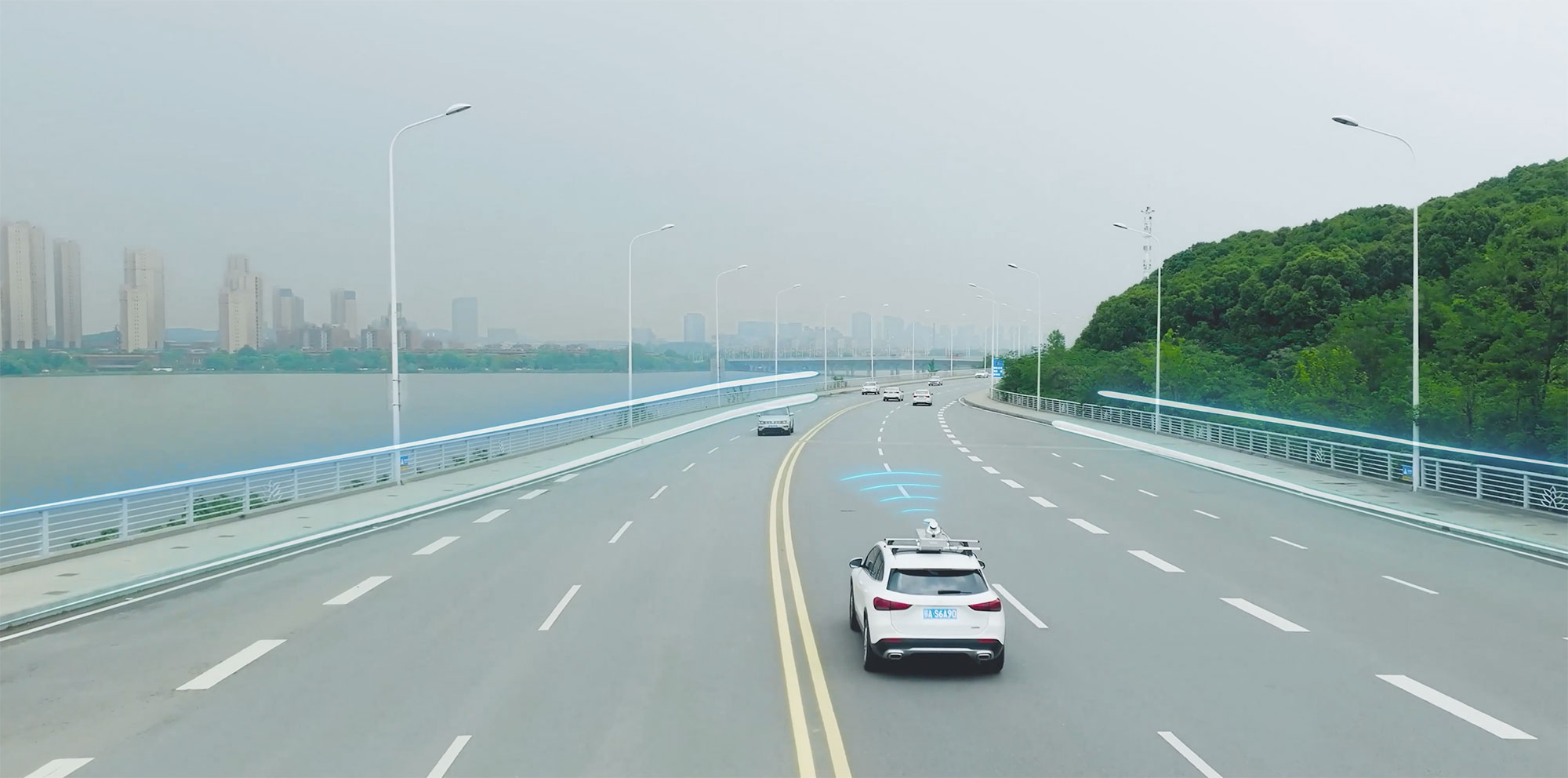
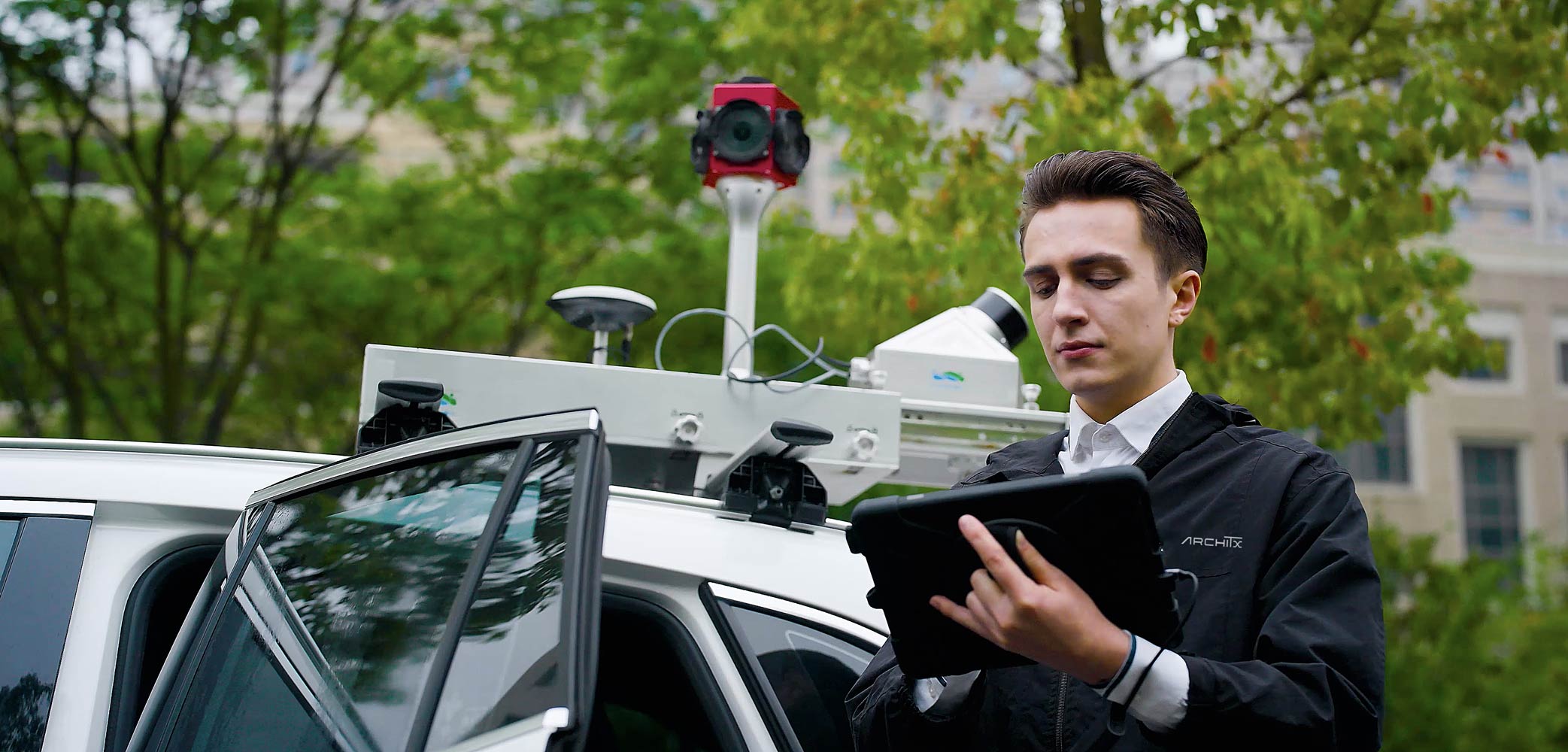
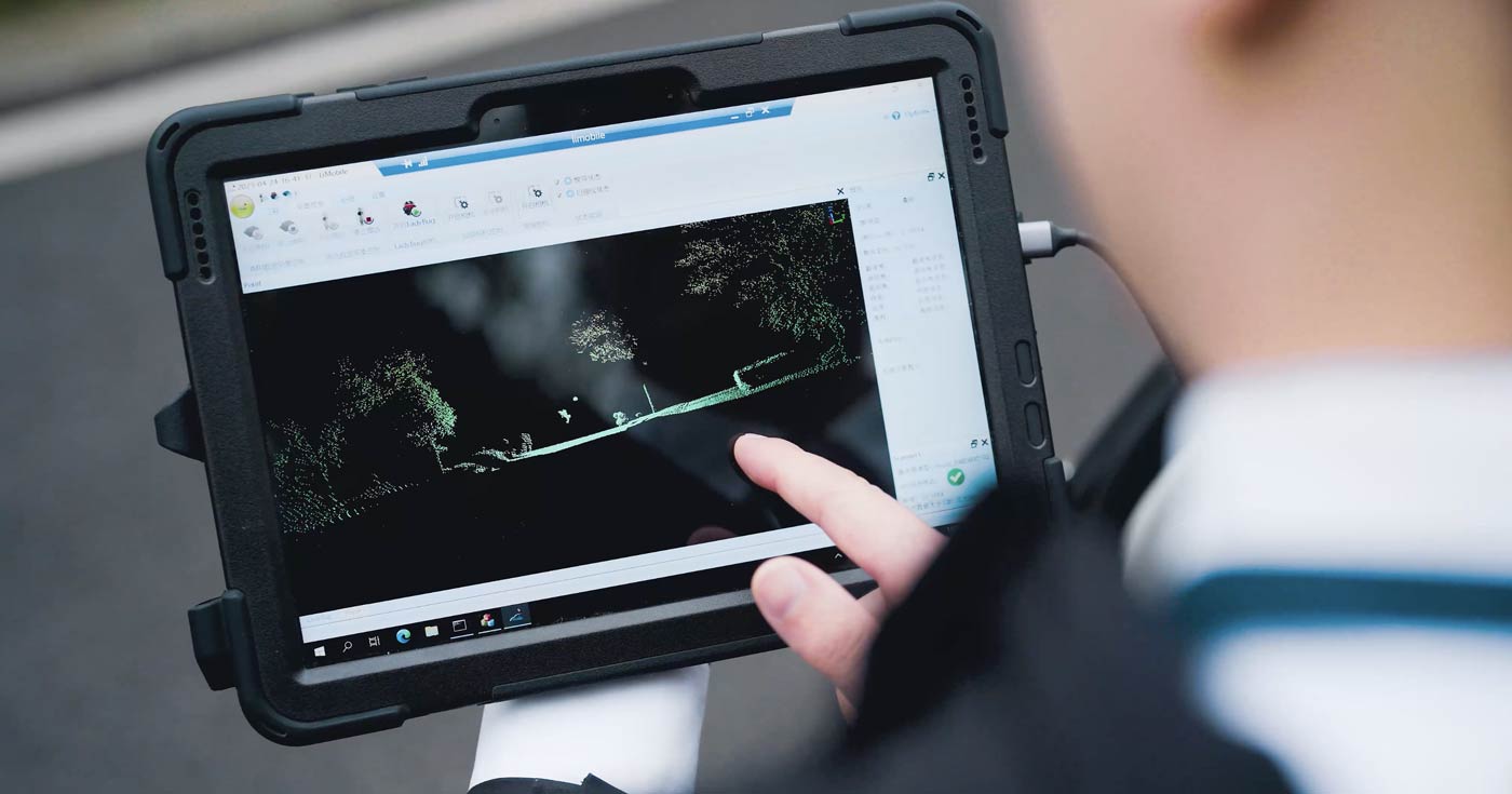
Using state-of-the-art LIDAR scanning systems mounted on vehicles, we capture and analyse road assets with unparalleled speed and precision. Our advanced AI-driven technology, combined with expert manual validation, ensures that governments, councils, and infrastructure firms receive the most reliable and actionable data.
Reduced road maintenance costs by up to 30%
Minimise unecessary repairs with data-driven decision.
Identify infrastructure risks 50% faster
AI-powered insights enable quicker detection and response.
Meet compliance standards with zero hassle
Ensure adherence to regulations with comprehensive digital records.
Our Technology Advantage
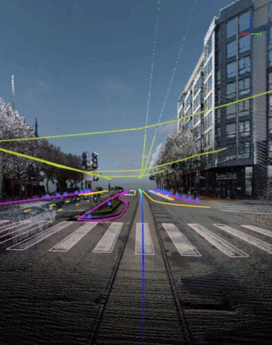
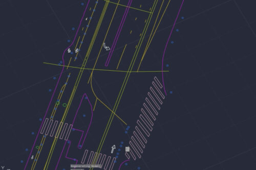
- Ultra-High Precision LIDAR Scanning – Capture intricate road details with millimetre accuracy.
- AI-Powered Defect Detection – Identify cracks, potholes, and structural wear in real-time.
- 360° Panoramic Imaging – Combine LiDAR with high-resolution imagery for a full-spectrum view.
- Seamless Data Integration – Export insights directly into asset management systems for streamlined decision-making.
What We Deliver
- Road Surface Condition Analysis – Detect wear, cracking, rutting, and potholes before they escalate.
- Signage & Line Marking Compliance – Ensure regulatory standards are met with precise records.
- Drainage, Kerb & Roadside Asset Mapping – Map critical roadside elements for urban planning.
- Predictive Maintenance Insights – Leverage AI-driven analytics to forecast road deterioration and prioritise repairs efficiently.
Enquire
Please fill out the form and we will be in touch soon.